The walk for today was around the bottom of the May Creek area, the Honeydew Creek Trail. I was hoping to find a clear location for the old trestle bridge that crossed May Creek from the old railroad . However, I don't think we were that close. We did get to walk down on an interesting old closed-off road, though. The sign at the top said "Warning, slide danger". This landslide is what I think they were talking about.

Finding a geocache along the way.

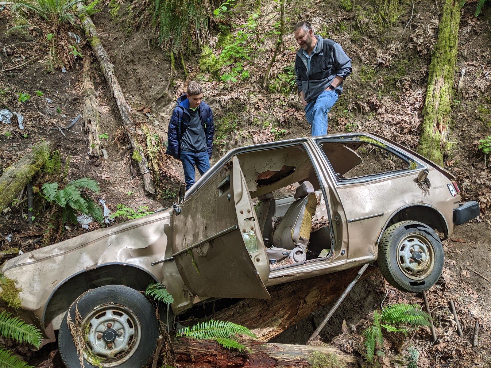
An old car that must have crashed from the road above. Strange, though, because the road above was a dead end.

Saw this treehouse on the way down from the northeast trailhead.

This is the from the website that allows you to layer historical maps over current maps. The map below shows my next target, which is the old road that previously led to the top of Somerset. I encountered it before, in the woods above South Bellevue Community Center. It was pretty clearly an old road, and now I can see where, exactly, it went. We'll head there today or tomorrow.

No comments:
Post a Comment